The AIATSIS Map of Indigenous Australia | Folded A3
The AIATSIS Map of Indigenous Australia | Folded A3
Couldn't load pickup availability
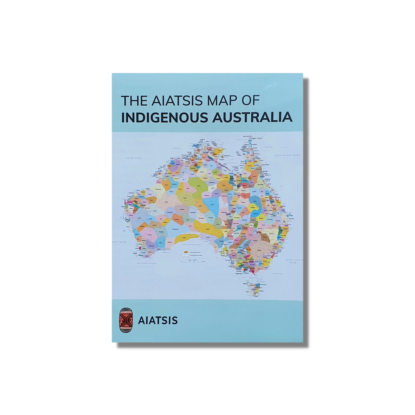
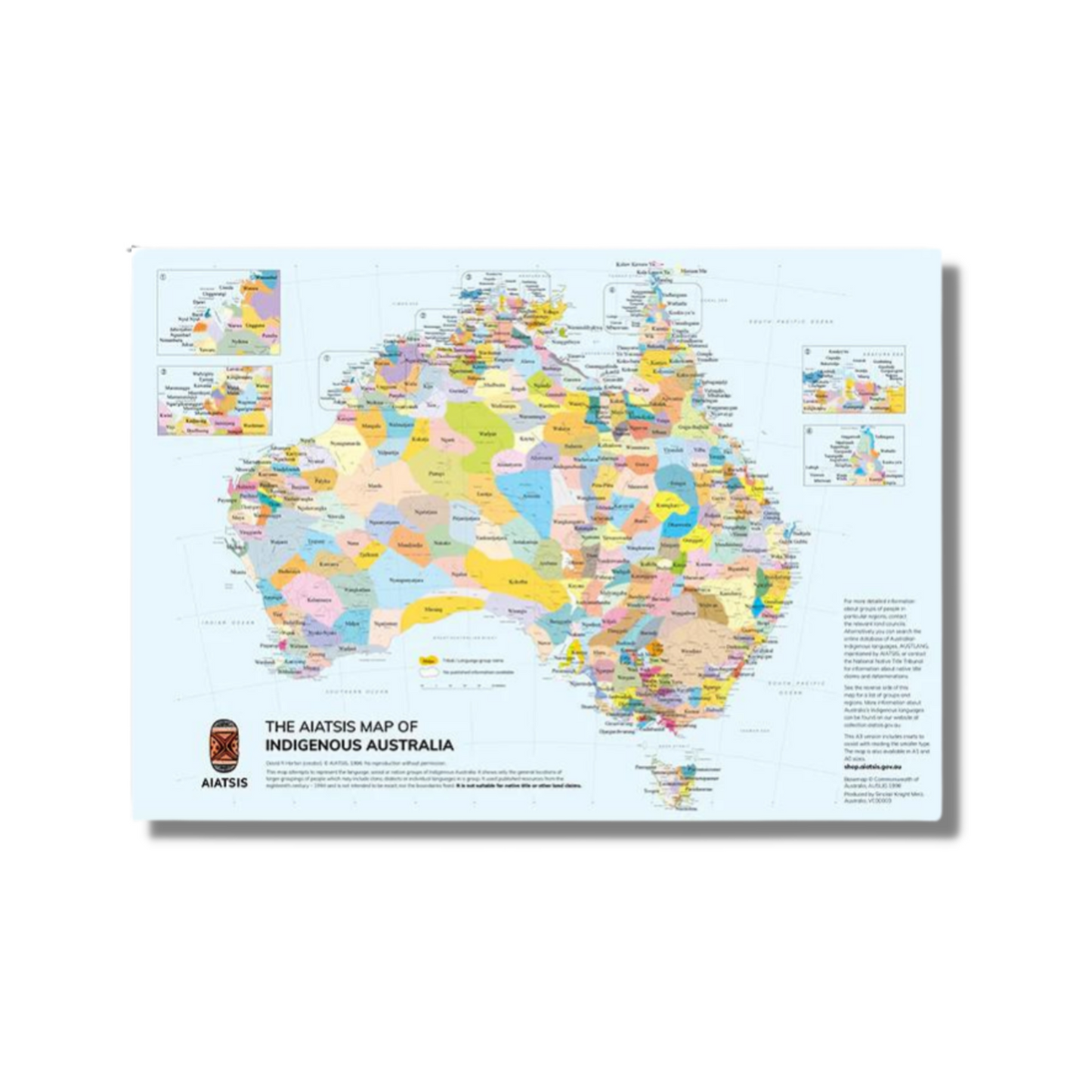
The highly popular AIATSIS map of Indigenous Australia is a perfect take-home product for anyone interested in the diversity of Australia’s First Nations peoples. The map is an attempt to represent the language, tribal or nation groups of the Aboriginal peoples of Australia. Aboriginal groups were included on the map based on the published resources available between 1988 and 1994 which determine the cultural, language and trade boundaries and relationships between groups. For tens of thousands of years, Indigenous peoples have occupied this continent as many different nations with diverse cultural relationships linking them to their own particular lands. More than 200 distinct languages, and countless dialects were in use when European colonisation began. While people in some communities continue to speak their own languages, many others are seeking to record and revive threatened ones. Aboriginal and Torres Strait Islander peoples retain their connection to their traditional lands regardless of where they live.
Please note *Some of the information on which the map is based is contested and may not be agreed to by some traditional custodians. The borders between groups are purposefully represented as slightly blurred and do not claim to be exact. It shows only the general locations of larger groupings of people which may include clans, dialects or individual languages in a group.
Edited by David Horton the AIATSIS map of Indigenous Australia is copyright AIATSIS.
Dimensions when flat: 28
Dimensions when folded: 10.5 cm W x 15 cm H x .5 cm D
The AIATSIS Map of Indigenous Australia is also available in A1 size & flat-rolled version. Flat-rolled versions will be sent in a tube, and additional postage charges may apply.